
Loading…
Loading…
Also serving Kasargod
WebGIS has a specific audience in Kasaragod: local bodies, plantation and farmer organisations, and agencies managing the coast. For them a live map replaces a cupboard of registers.
Or call +91 62358 66111
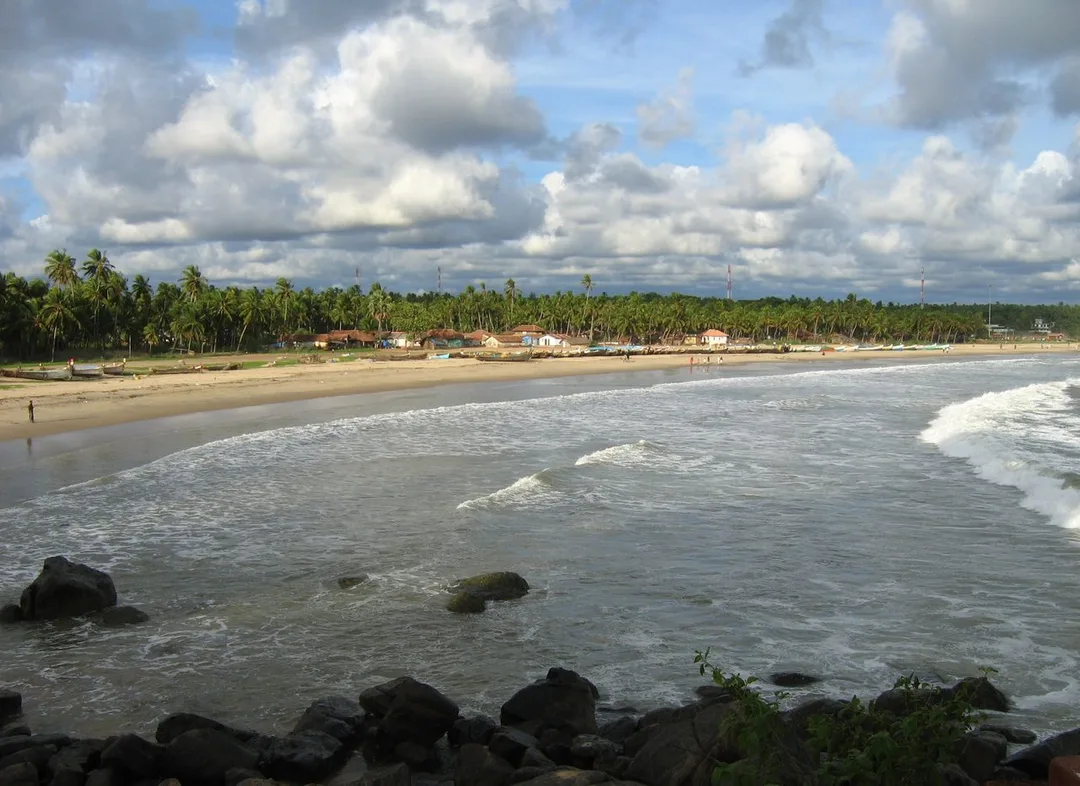
Photo: Vinayaraj · CC BY-SA 3.0, cropped · via Wikimedia Commons
Trusted by 200+ organisations across India & overseas — including






























This is not a service every Kasaragod business needs, and we would rather say that plainly than stretch the case. It earns its place when an organisation's assets or responsibilities are spread across ground: roads, drains, street lights, water connections, plots, plantations, a coastline.
For such bodies we build WebGIS applications: interactive maps in a browser, backed by a spatial database, with layers, search, filters and reports. We use open technologies including PostGIS, QGIS, Leaflet and OpenLayers, so there is no per-seat licence and the organisation owns its code and its data. Field staff capture location-tagged records on a phone and they appear on the central map.

Case studies

Muthoot Securities Limited
Muthoot Securities — MScan, the Flutter App That Cut Document Search Time by 70%

Dumas Bakes N Meals Private Limited
Dumas Bakes N Meals — ERPNext Lifted On-Time Deliveries by Over 40%

Kera Cabs
Kera Cabs — 55% of Bookings Moved Off the Phone and Into the App
Street lights, wells, drains and buildings are listed by ward in a book, which answers how many but never where or which. Held as map layers with attributes, the same records answer both, and a complaint can be matched to the asset it concerns.
Measurements written on a sheet are typed later, usually by somebody who was not present, and doubts cannot be resolved without going back. Captured on a phone with location, photograph and date, the record is complete when the surveyor walks away.
A society knows its members as a list of names. Plotted as holdings, the same list shows which routes a collection vehicle should run, where yields differ and which clusters justify a drying or storage facility.
An example
A complaint reaches a panchayat office about a street light out on a lane. The clerk opens the map, finds the lane, clicks the light and sees its pole number, the date it was installed, the contractor who maintains it and the two earlier complaints against it. The work order goes out the same morning with the pole number on it, so nobody has to be led to the spot. When the electrician marks it done on his phone, the map records who closed it and when. The register in the cupboard would have taken the afternoon and still not answered which light it was.
We start from whatever exists: survey sheets, ward registers, spreadsheets with no coordinates. Base layers are assembled, data is cleaned and located, and one layer is built end to end before the rest, so the body sees the value early. Field capture is trained on site. Everything is handed over with the data, the code and documentation for whoever maintains it next.
Discovery and data audit. Your spatial data and the decisions the map must support.
Data model. Your data modelled in a spatial database, clean and ready to scale.
Map and application design. Layers, filters, search, dashboards and field capture around your users.
Integration. The map connected to your ERP, asset registers and GPS feeds.
Deploy, train and support. Launched on a stack you control, your team trained, support kept on.
The scope and timeline are agreed in writing before work starts.
Coconut and arecanut farming
Grower holdings, crop and area mapped per member so collection routes, extension visits and input distribution are planned on where people actually are.
Retail and trading
Distributors mapping outlets, routes and coverage gaps across the district, so a salesman's beat is drawn from geography rather than from habit.
Marine fisheries and seafood
Coastal assets, landing points and infrastructure recorded spatially for agencies and organisations that plan and maintain them along the district's shoreline.
No. The stack we use is open, so there are no per-seat fees and no renewal that can quietly stop the system working. You pay for the building and for support, and the data and code remain yours to move elsewhere.
Sometimes, where geography drives the business: distribution routes, plantation holdings, service coverage. Where it does not, an ordinary report is better and cheaper, and we will tell you that rather than build a map you will open twice.
Yes. Layers can read from an existing database or from ERPNext, so an asset's maintenance history or a member's dues come from the system that owns them rather than being copied into the map and going stale.
After a first conversation about your spatial data, the users and the decisions the map has to support, we agree the scope and send you a written quotation. The price, the deliverables and the timeline are fixed against that scope before any work starts, so nothing grows without your sign-off.
You speak to someone who does this work, not a call centre. They ask about the data you hold, who needs to see it on a map and what they decide from it. If it looks like a fit, we agree the scope and put it in writing, with the timeline, before any work starts. If it does not, we tell you.
Karadka Block Panchayatlocal body
Block and grama panchayats hold responsibility for assets across a wide inland area, which is precisely the spread a list cannot manage and a map can.
Source: kasargod.nic.inNileshwar Municipalitylocal body
Kasaragod's three municipalities maintain roads, drains, lights and connections ward by ward, and each of those is a layer with its own attributes and maintenance history.
Source: kasargod.nic.inManjeshwaram Block Panchayatlocal body
The northern blocks run from the coast to the border, so planning and asset records have to work across very different terrain within one body.
Source: kasargod.nic.inCheruvathur Grama Panchayatlocal body
Smaller panchayats hold the same categories of asset with far fewer staff, so a map that anyone in the office can read saves more time here than anywhere.
Source: kasargod.nic.inPlaces and organisations are named for local context only. Acube Innovations is not affiliated with or endorsed by them.
Everything about WebGIS Development All services in Kasaragod
More services in Kasaragod
Get a clear plan, an honest timeline, and a fixed scope. Talk to a real expert today — whether or not you work with us.
or write to info@acube.co
Kochi (Kadavanthra & Infopark) · Thiruvananthapuram · across India & overseas · In business since 2011