
Loading…
Loading…
Also serving Quilon
A lake, a long coast, mineral sand leases at Chavara and forest in the east: much of what Kollam manages is tied to location, and WebGIS puts that on one shared map.
Or call +91 62358 66111
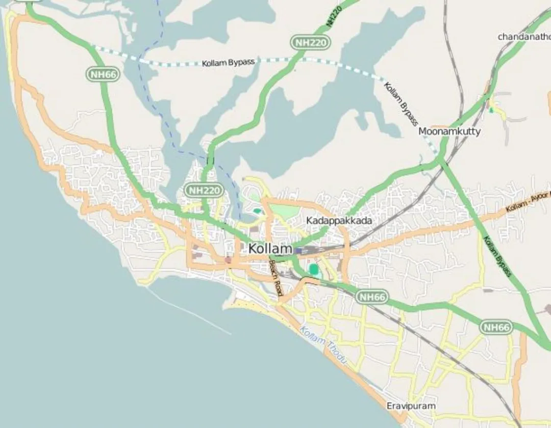
Photo: Arunvrparavur · CC BY-SA 4.0, cropped · via Wikimedia Commons
Trusted by 200+ organisations across India & overseas — including

























WebGIS is not something every business in Kollam needs, and a cashew trader can safely move on. It matters to a narrower group whose work is about where things are. The district wraps around Ashtamudi Lake, runs along a fishing coast, holds mineral sand deposits at Chavara, and rises to plantations and forest beyond Punalur. Local bodies, utilities, fisheries and tourism agencies manage assets spread across that ground.
WebGIS development brings such information into an interactive map in a browser: layers, search, filters, dashboards and field data capture from mobile phones. We build on open GIS technology such as PostGIS, Leaflet, OpenLayers and QGIS, so there is no per-seat licence and you own the system. In Quilon the likely users are the corporation and panchayats, infrastructure operators, and larger tourism or plantation enterprises.
Case studies

Indus Motor Company Private Limited
Indus Motor — ERPNext Cut Stock-Outs 40% Across Showrooms

Della Fashions
Della Fashions — ERPNext POS Made Checkout 60% Faster Across Every Outlet

Kerala State Road Transport Corporation (KSRTC)
KSRTC — ERPNext Courier System Delivered ₹1 Crore in Profit
A block panchayat may hold lists of street lights, drains, roads and buildings in separate registers with no common map. A WebGIS puts each asset at its location with condition, photographs and maintenance history, so planning and complaints start from one picture.
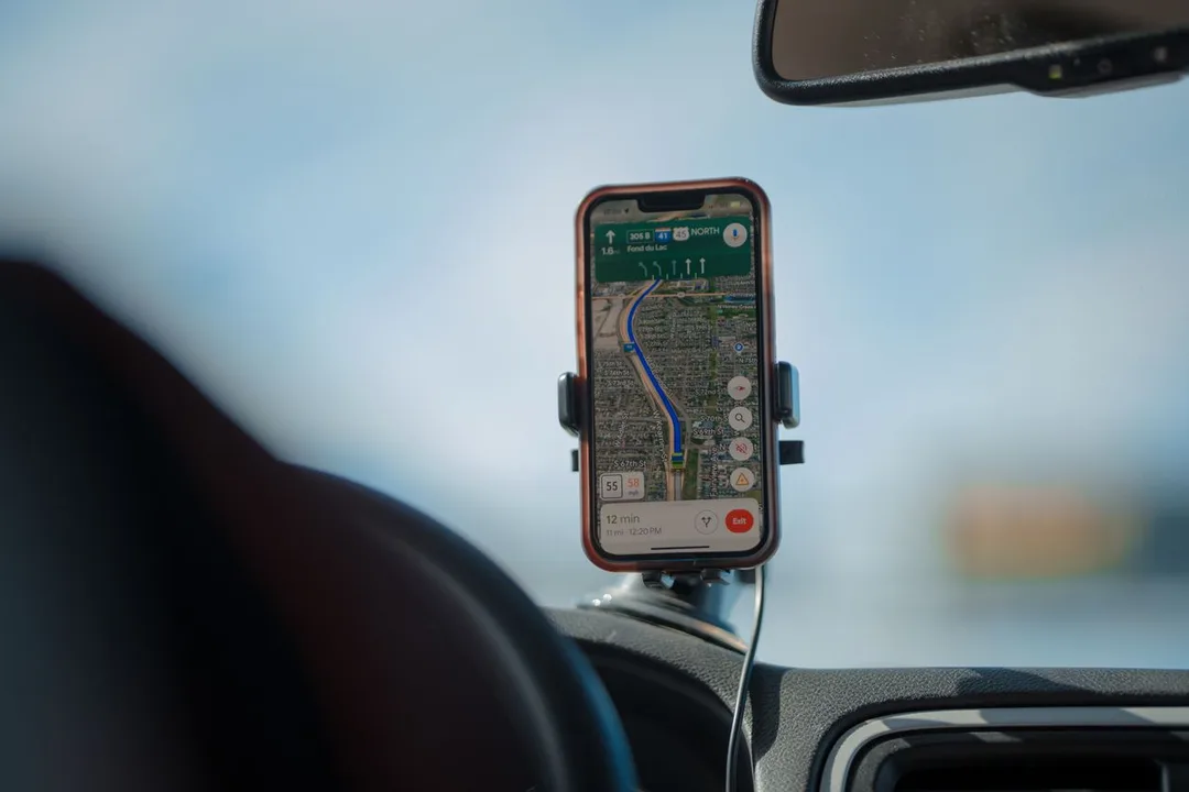
Survey teams collect data on paper or in personal phone apps, and someone retypes it later. GPS-tagged mobile capture sends points, photographs and forms directly to the central map, removing a whole stage of delay and error.
Activity on Ashtamudi and along the shore involves fishing, tourism, transport and conservation interests that overlap in space. Seeing jetties, ferry routes, protected zones and landing centres together on one map helps agencies plan with fewer conflicts.
An example
On a weekday morning a two-person survey team from a block panchayat office walks the shore of Sasthamcotta lake with a phone app instead of a clipboard. At each drinking-water intake, drain outlet and encroachment they drop a point, take a photograph and fill a short form, and the record lands on the shared map at the office before they have moved on. Back at the district panchayat, an engineer overlays the morning's points on last year's survey and the ward boundaries, filters for outlets flagged as blocked, and prints a list for the works committee that meets in the afternoon.
We open with a data audit: what spatial data you already hold, in what formats, and how reliable it is. Shapefiles, spreadsheets with coordinates, survey drawings and GPS logs can all be brought in. Development is done by our Kochi engineers, with field visits to Kollam to test mobile capture in real conditions and train the staff who maintain the layers.
Discovery and data audit. Your spatial data and the decisions the map must support.
Data model. Your data modelled in a spatial database, clean and ready to scale.
Map and application design. Layers, filters, search, dashboards and field capture around your users.
Integration. The map connected to your ERP, asset registers and GPS feeds.
Deploy, train and support. Launched on a stack you control, your team trained, support kept on.
The scope and timeline are agreed in writing before work starts.
Mineral sands and ceramics
Mapping of lease areas, mined and restored blocks, stockyards and haul routes along the Chavara coast, with survey data and imagery layered by date, giving operations and compliance teams a shared visual record.
Marine fisheries and seafood
Maps of harbours, landing centres, ice plants and cold stores from Neendakara down the coast, useful to cooperative bodies and agencies planning infrastructure, and to large processors mapping their procurement network.
Backwater tourism
Interactive visitor maps of boat routes, jetties, stays and sights around Ashtamudi, Munroe Island and Thenmala for tourism bodies and large operators, with an internal layer for fleet positions when linked to GPS.
No. We build on open-source, standards-based GIS components, so there are no per-user fees and the code and data are yours. Your team reaches the system through a browser, and specialist users can still connect desktop tools such as QGIS.
Only for some. Plantation companies, large tourism operators, transporters and firms with many sites or field staff can benefit. If your operations fit comfortably in a spreadsheet, a map adds little, and we would say so before taking the work.
Yes. WebGIS becomes more useful when location is joined with operational data. We integrate with ERPNext, asset registers and GPS feeds, so that a point on the map opens the maintenance record, the stock position or the vehicle's last trip.
After a first conversation about your spatial data, the users and the decisions the map has to support, we agree the scope and send you a written quotation. The price, the deliverables and the timeline are fixed against that scope before any work starts, so nothing grows without your sign-off.
You speak to someone who does this work, not a call centre. They ask about the data you hold, who needs to see it on a map and what they decide from it. If it looks like a fit, we agree the scope and put it in writing, with the timeline, before any work starts. If it does not, we tell you.
IREL Chavara Mineral Divisionpark
Central public-sector mineral separation plant about 10 km north of Kollam, with capacity for around 2.6 lakh tonnes a year of ilmenite, rutile, zircon and sillimanite.
A mineral separation plant on the coast north of Kollam works within mining leases and restoration zones that are best managed as dated map layers rather than files of drawings.
Source: irel.co.inNeendakara Port and fishing harbourtransport
intermediate port and Kerala's largest fishing harbour on Ashtamudi Lake, with a fish landing centre and the Kerala Maritime Institute campus
An intermediate port and fishing harbour on Ashtamudi Lake, with a landing centre and maritime institute alongside, is the kind of crowded waterfront a shared map helps agencies coordinate.
Source: en.wikipedia.orgSasthamcotta Block Panchayatlocal body
The block around Kerala's largest freshwater lake manages water intakes, drains and shoreline pressures that field survey capture on a map makes visible ward by ward.
Source: kollam.nic.inPlaces and organisations are named for local context only. Acube Innovations is not affiliated with or endorsed by them.
Everything about WebGIS Development All services in Kollam
More services in Kollam
Get a clear plan, an honest timeline, and a fixed scope. Talk to a real expert today — whether or not you work with us.
or write to info@acube.co
Kochi (Kadavanthra & Infopark) · Thiruvananthapuram · across India & overseas · In business since 2011