
Loading…
Loading…
Also serving Calicut
Kozhikode's distributors, hospital networks and civic bodies make location decisions from memory and paper maps; a WebGIS application puts those decisions on a shared, live map.
Or call +91 62358 66111
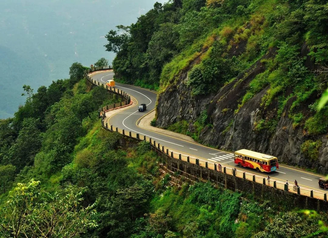
Photo: Keerikkadanjose · CC BY-SA 4.0, cropped · via Wikimedia Commons
Trusted by 200+ organisations across India & overseas — including




























WebGIS is not an everyday purchase for a trading city, and we will not claim otherwise. Most Kozhikode businesses will never need it. Some will: a distributor deciding which towns along NH 66 a new depot should serve, a hospital group studying where its patients travel from, the Corporation or a block panchayat mapping drains, streetlights and property records, a port or fisheries agency watching activity along the coast at Beypore.
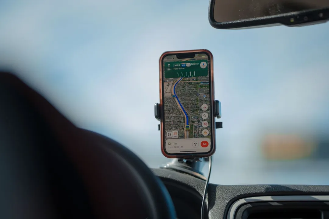
For those cases we build web-based mapping applications on open-source GIS tools. Your own data, such as customers, assets, routes and survey points, appears as layers on an interactive map in a browser, with search, filters and spatial analysis built in. Field teams can capture GPS-tagged data on a phone, and you own the system without per-seat mapping licences.
Case studies

Indus Motor Company Private Limited
Indus Motor — ERPNext Cut Stock-Outs 40% Across Showrooms

Della Fashions
Della Fashions — ERPNext POS Made Checkout 60% Faster Across Every Outlet

EVM Wheels (part of the EVM Group)
EVM Wheels — 70% of Self-Drive Rentals Now Book Themselves Through the App
Sales routes across Malabar are often inherited and never reviewed. Plotting every retailer with sales value on a map shows overlapping routes, neglected pockets and towns that are served from the wrong depot, in a way no spreadsheet column can.
Local bodies in and around the city keep asset and property registers in files and separate software. A shared map of roads, drains, lights and buildings lets engineers and revenue staff see the same picture and plan maintenance by area.
Survey teams fill forms on paper and someone enters them later, with errors and delay. A mobile data collection app that records location, photographs and form answers sends them straight to the central map.
An example
A distributor's sales head opens a map instead of a spreadsheet. Every retailer his vans serve is a dot coloured by last quarter's sales, and the routes along NH 66 towards Koyilandy and NH 766 towards the ghat overlap in a way nobody saw from the beat sheets. He drags a proposed depot marker to a spot near Kunnamangalam and the catchment recalculates: which shops move to it, how far each van drives. A salesman in the field confirms a shop's location from the app while standing outside it. In the afternoon a visiting engineer from the Corporation looks over his shoulder and asks whether the same tool could hold drains and streetlights. It could. The base maps are open source and the data stays the distributor's own.
A GIS project begins with data, so our first task is to see what you hold: addresses, coordinates, drawings, survey sheets. That review and the requirement workshop are done with you in Kozhikode. Development takes place in Kochi, with a test site you can open at each stage. Field app training is given on the ground, because that is where it will be used.
Discovery and data audit. Your spatial data and the decisions the map must support.
Data model. Your data modelled in a spatial database, clean and ready to scale.
Map and application design. Layers, filters, search, dashboards and field capture around your users.
Integration. The map connected to your ERP, asset registers and GPS feeds.
Deploy, train and support. Launched on a stack you control, your team trained, support kept on.
The scope and timeline are agreed in writing before work starts.
Wholesale and retail trade
Retailer and dealer mapping, route planning for van sales, catchment analysis for new outlets, and visit tracking so managers see coverage by area instead of by salesman's report.
Healthcare and hospitals
Patient origin maps by speciality, ambulance and outreach camp planning, and siting decisions for satellite clinics in towns such as Vadakara, Koyilandy and Thamarassery.
IT/ITeS (Cyberpark)
Software firms that need mapping features inside their own products can use our GIS developers for map front ends, spatial databases and geoprocessing services, under their architecture and branding.
No. We build on open-source components for the map server, spatial database and web front end, so there is no per-user mapping licence. You pay for the development, hosting and any premium base maps or imagery you choose to add.
Yes. Addresses can be geocoded in bulk, though accuracy for Kerala addresses varies and some will need manual correction. For a Calicut distributor we usually combine geocoding with a simple app that lets salesmen confirm each shop's location on their next visit.
Yes. Sales, outstanding and stock figures from ERPNext or another system can be shown against each mapped customer or site, refreshed on a schedule. That is what turns a map from a picture into a management tool.
After a first conversation about your spatial data, the users and the decisions the map has to support, we agree the scope and send you a written quotation. The price, the deliverables and the timeline are fixed against that scope before any work starts, so nothing grows without your sign-off.
You speak to someone who does this work, not a call centre. They ask about the data you hold, who needs to see it on a map and what they decide from it. If it looks like a fit, we agree the scope and put it in writing, with the timeline, before any work starts. If it does not, we tell you.
Kozhikode Municipal Corporationlocal body
The district's only corporation, keeping road, drain, streetlight and property registers in files and separate systems; a shared web map is the practical way its engineers and revenue staff see the same picture.
Source: kozhikode.nic.inNH 66, NH 766 and NH 966transport
NH 66 runs along the coast towards Mangaluru and Thiruvananthapuram, NH 766 climbs through Wayanad to Bengaluru, NH 966 goes to Palakkad via Malappuram
Coast road, ghat road and the road to Palakkad; a distributor's van beats follow them, and plotting sales along them shows which towns are served from the wrong depot.
Source: en.wikipedia.orgBeypore Porttransport
minor port under the Kerala Maritime Board, second in the state after Cochin by cargo and passengers; averages about 1.25 lakh tonnes of cargo and 10,000 passengers a year, mostly to and from Lakshadweep; two wharves of 150 m and 160 m
A minor port under the Kerala Maritime Board with two wharves and traffic mostly to Lakshadweep; port and fisheries agencies here are the kind of body that maps activity along the coast.
Source: kmb.kerala.gov.inKunnamangalam Block Panchayatlocal body
The block that holds the IIM campus and a fast-growing eastern suburb; it is where a distributor's depot decision or a hospital's satellite clinic siting question tends to land.
Source: kozhikode.nic.inPlaces and organisations are named for local context only. Acube Innovations is not affiliated with or endorsed by them.
Everything about WebGIS Development All services in Kozhikode
More services in Kozhikode
Get a clear plan, an honest timeline, and a fixed scope. Talk to a real expert today — whether or not you work with us.
or write to info@acube.co
Kochi (Kadavanthra & Infopark) · Thiruvananthapuram · across India & overseas · In business since 2011