
Loading…
Loading…
Also serving Cannanore
With an airport reshaping land around Mattannur and a long coast to manage, Kannur has real mapping questions, though fewer organisations that need a full WebGIS.
Or call +91 62358 66111
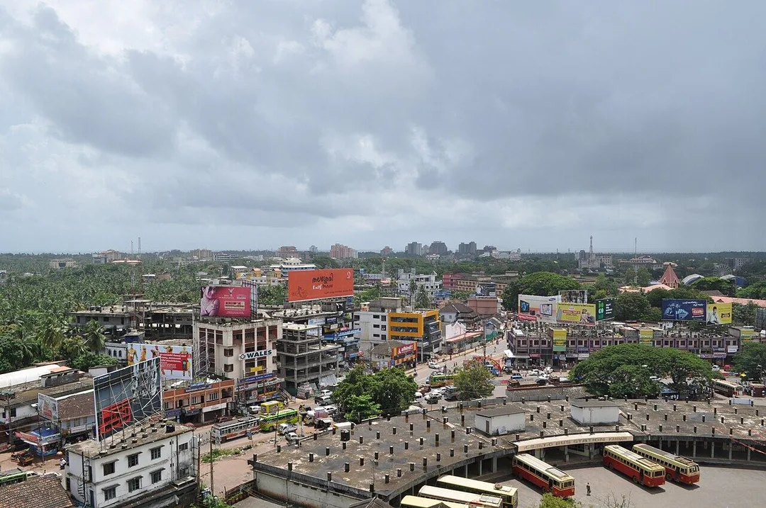
Photo: Kidu (talk) · Public domain · via Wikimedia Commons
Trusted by 200+ organisations across India & overseas — including






























WebGIS is specialist software, and most businesses in Kannur will never need it. It earns its place where location is the decision: which parcels fall inside the airport zone, where a municipality's streetlights and water lines actually run, how the coastline from Payyanur to Thalassery can be managed as one asset. For those users a shared, live map replaces survey sheets only one officer understands.
Acube builds WebGIS applications on open technology such as PostGIS, QGIS, Leaflet and OpenLayers, so there are no per-seat licence fees and you own the code and data. We deliver interactive maps with layers, search and filters, field data capture on mobile with GPS tagging, spatial analysis such as proximity and area reports, and links to your existing records.

Case studies

Kochi Metro Rail Limited (KMRL)
Kochi Metro (KMRL) — ERPNext Property & Lease Management, Zero Paper

Della Fashions
Della Fashions — ERPNext POS Made Checkout 60% Faster Across Every Outlet

BSS Green Life Solar Division
BSS Green Life Solar — ERPNext, CRM & a Geo-Tagged Site-Survey App
Anyone assessing a plot near the airport zone gathers survey numbers, road access, zoning and surroundings from different sources. A map that overlays these layers lets a developer or planner answer the question in minutes at one screen.
Municipal staff in Thalassery and Payyannur often rely on memory for where drains, lights and taps are. Mapping assets with photographs and condition, captured by phone in the field, turns that memory into a record that survives transfers.
Four-laning along the coastal highway touches shops, plots and utilities in every town it passes. A map of affected parcels and services helps a council or a business federation see the effect before the notices arrive.
An example
A works overseer at Mattannur Municipality walks his ward on a Tuesday with a phone app built on the town's WebGIS. At each streetlight pole he taps once: the GPS fixes the point, he photographs the fitting and marks it working or dark. By noon the ward's poles are on the map, colour-coded, with the dark ones clustered along the road towards the airport. The engineer in the municipal office sees the same map on her desktop, groups the faults into one work order for the electrical contractor and prints the list by pole number. A councillor asks how many lights her ward has; the answer is a click on the boundary. When the contractor finishes, he closes each point from his own phone, and the map turns green a pole at a time.
We scope WebGIS work carefully, because the costliest part is often data and not software. The first step is an inventory of what spatial data you hold, what government sources offer and what must be surveyed. Development happens in Kochi. Field capture apps are tested on the ground in Kannur with your staff, since GPS accuracy and mobile coverage differ between the hills and the coast.
Discovery and data audit. Your spatial data and the decisions the map must support.
Data model. Your data modelled in a spatial database, clean and ready to scale.
Map and application design. Layers, filters, search, dashboards and field capture around your users.
Integration. The map connected to your ERP, asset registers and GPS feeds.
Deploy, train and support. Launched on a stack you control, your team trained, support kept on.
The scope and timeline are agreed in writing before work starts.
Construction and real estate
Parcel-level maps for land bank management, overlays of road proposals and zoning, distance analysis to the airport and highway, and a visual inventory of projects and plots for a builder's sales and planning teams.
Local bodies and utilities
Asset maps for the ten municipalities and the corporation: streetlights, drains, water lines and waste routes captured in the field, with complaints and maintenance tied to a point on the map.
Beedi and cooperative manufacturing
Societies, depots, outlets and collection points shown on one map with performance data behind each, helping a federation plan routes and see which areas are served poorly.
No. We build on open-source GIS components widely used by governments and enterprises. There are no per-user fees. You pay for development, hosting and support, and keep the freedom to extend the system with any competent team later.
Yes. Paper maps can be scanned and georeferenced, and lists with addresses or survey numbers can be placed on the map. We usually begin with one area or one asset type and expand once the value is visible.
For showing a few locations, yes, and we will say so. A WebGIS is justified when you need your own layers, controlled access, field updates, analysis by area or distance, or links to internal records.
After a first conversation about your spatial data, the users and the decisions the map has to support, we agree the scope and send you a written quotation. The price, the deliverables and the timeline are fixed against that scope before any work starts, so nothing grows without your sign-off.
You speak to someone who does this work, not a call centre. They ask about the data you hold, who needs to see it on a map and what they decide from it. If it looks like a fit, we agree the scope and put it in writing, with the timeline, before any work starts. If it does not, we tell you.
Kannur Municipal Corporationlocal body
The district's only corporation manages roads, drains, lights and waste routes across the largest urban area in north Malabar, the scale at which a map-based asset register pays.
National Highway 66transport
coastal highway through Payyanur, Kannur and Thalassery linking Kozhikode and Mangaluru; four-laning under way
Four-laning along the coast through Payyanur, Kannur and Thalassery affects parcels, shops and utilities that a shared map can show before the notices arrive.
Source: en.wikipedia.orgMattannur Municipalitylocal body
The airport town is where land use is changing fastest, so parcel maps with zoning and distance layers matter most to builders and to the council.
Places and organisations are named for local context only. Acube Innovations is not affiliated with or endorsed by them.
Everything about WebGIS Development All services in Kannur
More services in Kannur
Get a clear plan, an honest timeline, and a fixed scope. Talk to a real expert today — whether or not you work with us.
or write to info@acube.co
Kochi (Kadavanthra & Infopark) · Thiruvananthapuram · across India & overseas · In business since 2011