
Loading…
Loading…
Also serving Thodupuzha and Munnar
Few districts are as shaped by terrain as Idukki, where slope, rainfall, forest boundary and road access decide what an estate, a panchayat or a power project can do.
Or call +91 62358 66111
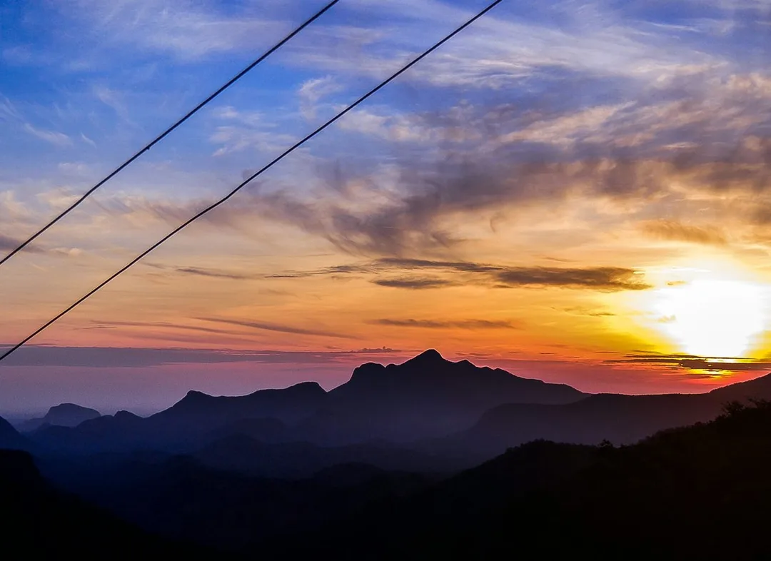
Photo: Rinoj Hashim · CC BY-SA 4.0, cropped · via Wikimedia Commons
Trusted by 200+ organisations across India & overseas — including






























WebGIS has a narrow audience in Idukki, but for that audience the case is strong. Land here is steep, fragmented and sensitive. Estates spread over hillsides in irregular fields. Reservoirs, canals and penstocks run through forest. The district panchayat and eight block panchayats must plan roads, drinking water and disaster response in country where a single landslip cuts off a ward. Spreadsheets describe none of this well. Maps do.
Acube builds web-based GIS applications on open-source tools such as PostGIS, QGIS, Leaflet and OpenLayers: interactive maps with your own layers, field data collection by GPS-enabled phone, spatial search and analysis, and dashboards anyone in the organisation can open in a browser. No commercial GIS licence is required, and the system and data remain yours.

Case studies

Muthoot Securities Limited
Muthoot Securities — MScan, the Flutter App That Cut Document Search Time by 70%

Dumas Bakes N Meals Private Limited
Dumas Bakes N Meals — ERPNext Lifted On-Time Deliveries by Over 40%

Indus Motor Company Private Limited
Indus Motor — ERPNext Cut Stock-Outs 40% Across Showrooms
Most estates have a survey map on paper or as a CAD file that only one person can open. A web map with field boundaries, planting year, clone, shade and yield attached to each block turns that drawing into a management tool the whole team can use.
Transmission lines, canals, roads, culverts and pipelines cross ridges and forest. When their records sit in files at separate offices, inspection and repair planning is slow. A shared asset map shows condition, last inspection and access route for each item.
Local staff know which slopes slide and which streams flood, but that knowledge is rarely recorded. Mapping past incidents against slope, rainfall and land use helps a local body or an estate decide where to build, plant and evacuate.
An example
Heavy rain has fallen overnight across the Azhutha block and by morning a road to two hill wards is blocked by a slip. The block office opens the web map we built. The slip is marked from a photo and GPS point sent by the ward member's phone; the map shows the houses cut off, the anganwadi and the drinking-water scheme behind the slip, and the alternative track through the neighbouring panchayat. The engineer overlays last year's incidents and sees this stretch has failed before. A work request goes out with the exact chainage, the relief team gets the household list, and the same map, with today's incident added, will inform where the block widens the road when the rains end.
A WebGIS project begins with the data you already hold: survey sheets, CAD drawings, GPS points, registers with location names. We assess and clean these in Kochi, build a first map quickly and improve it with your feedback. Field collection is set up on ordinary Android phones, and we come to Idukki to train the staff who will walk the ground. Hosting can be on your own server or managed by us.
Discovery and data audit. Your spatial data and the decisions the map must support.
Data model. Your data modelled in a spatial database, clean and ready to scale.
Map and application design. Layers, filters, search, dashboards and field capture around your users.
Integration. The map connected to your ERP, asset registers and GPS feeds.
Deploy, train and support. Launched on a stack you control, your team trained, support kept on.
The scope and timeline are agreed in writing before work starts.
Tea and cardamom plantations
Block-level estate mapping with area, crop, age and yield attributes, GPS-tagged field observations from supervisors, and replanting or shade-management plans drawn and tracked on the map.
Hydroelectric power
Asset and catchment mapping for agencies and contractors working around the dams and power stations: structures, instruments, access roads and inspection records on one queryable map.
Hill-station tourism (Munnar, Thekkady)
Trail, viewpoint and facility maps for destination managers and eco-tourism bodies, visitor-facing route maps, and carrying-capacity planning where footfall in sensitive areas must be managed.
Yes. Paper maps can be scanned, georeferenced against known points and traced into digital boundaries. Accuracy depends on the original, so we usually correct key boundaries with GPS readings taken on the ground. The result serves management well, though it does not replace a legal survey.
No. We build on mature open-source GIS software that carries no licence fee. You pay for the design, development and hosting of your application. Your data stays in standard open formats, so it can be moved or opened in other tools later.
Government and local bodies are common users, but not the only ones. Any organisation in Idukki whose work is spread over land can benefit: plantation companies, utilities, contractors, conservation and research groups. If your main records have a location, a map is usually the clearest way to see them.
After a first conversation about your spatial data, the users and the decisions the map has to support, we agree the scope and send you a written quotation. The price, the deliverables and the timeline are fixed against that scope before any work starts, so nothing grows without your sign-off.
You speak to someone who does this work, not a call centre. They ask about the data you hold, who needs to see it on a map and what they decide from it. If it looks like a fit, we agree the scope and put it in writing, with the timeline, before any work starts. If it does not, we tell you.
Idukki District Panchayatlocal body
The district body plans roads, water schemes and disaster response over steep, forest-bounded terrain, the scale at which a shared map beats separate registers.
Devikulam Block Panchayatlocal body
Covers the Munnar estate belt where tourism footfall, estate boundaries and forest edges overlap, a natural case for visitor, trail and asset mapping.
Azhutha Block Panchayatlocal body
A high-range block where landslip history, road access and scattered settlements make ward-level hazard and asset mapping useful to the office.
NH 185 (Adimali–Kumily)transport
98 km national highway through Cheruthoni, Idukki and Kattappana
The highway through Cheruthoni and Kattappana is the spine that culvert, slope and access-road records for the dam area and the towns can be mapped against.
Source: en.wikipedia.orgPlaces and organisations are named for local context only. Acube Innovations is not affiliated with or endorsed by them.
Everything about WebGIS Development All services in Idukki
More services in Idukki
Get a clear plan, an honest timeline, and a fixed scope. Talk to a real expert today — whether or not you work with us.
or write to info@acube.co
Kochi (Kadavanthra & Infopark) · Thiruvananthapuram · across India & overseas · In business since 2011